3D Modeling
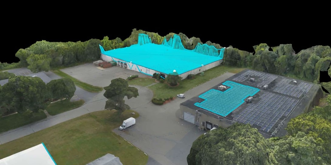
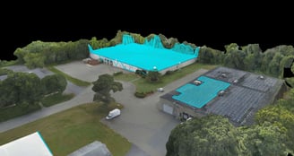
3D Modeling
Mapping & Surveying
Get maps geo-referenced orthomosaics, and real-time project updates. Take measurements from aerial photographs and convert images of land masses into maps, 3D models, or drawings.
Contact
+91 98850 22044
© 2024. All rights reserved.Axpect